Sale on canvas prints! Use code ABCXYZ at checkout for a special discount!

Previous Image

|

Next Image
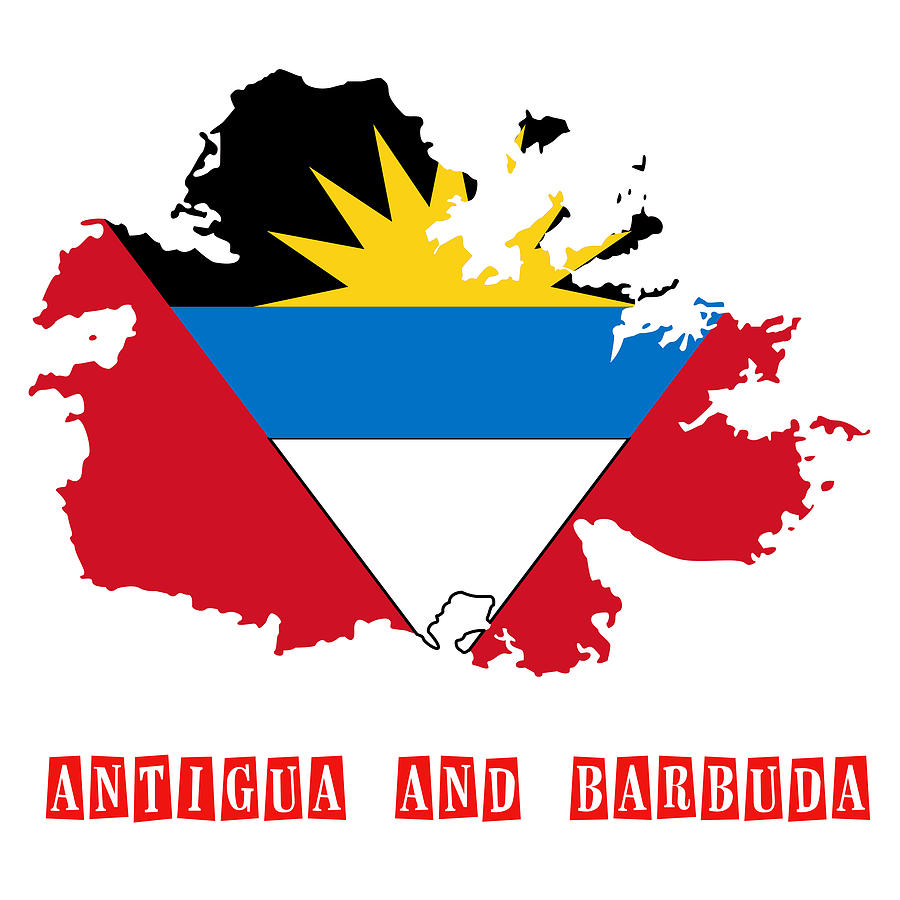
Political map of Antigua and Barbuda Digital Art by Celestial Images

Similar Images

A Chart of the Chesapeake And Delaware Bays 1862 by Celestial Images
Antique Map of Nantucket by Celestial Images
Artistic World Map made from people by Celestial Images
 A Map And History Of Peiping by Celestial Images
A flat-Earth map by Celestial Images
1794 Samuel Dunn Wall Map of the World in Hemispheres by Celestial Images
Watercolor World Map by Celestial Images
Antique Map Of Chicago by Celestial Images
map of Long Island New York by Celestial Images
Antique Map of Madison Wisconsin by Celestial Images
Political map of Aruba by Celestial Images
Artistic World Map made from people #1 by Celestial Images
Imperial Federation Map of the World Showing the Extent of the British Empire in 1886 by Celestial Images
1857 Colton Map of Ontario Canada by Celestial Images
1702 Visscher Stoopendaal Map of Israel Palestine or the Holy Land  by Celestial Images
Antique Map of  Canada 1801 by Celestial Images
Antique Map Of Americas by Celestial Images
1865 Map The Roman Empire Under Constantine by Celestial Images
Antique Map of the Korean Peninsula 1860 by Celestial Images

Comments (3)

MotionAge Designs

MotionAge Designs

Awesome work. Congrats on your sale

John Bailey

John Bailey

Congratulations on being featured in the Fine Art America Group "Images That Excite You!"

Celestial Images

Celestial Images

Thank you so much to the art lover in Charlotte, NC. who is making a home for my " Political map of Antigua and Barbuda " .... I appreciate you so much!

Recently Viewed

Political map of Antigua and Barbuda by Celestial Images
Previous Image Next Image